
Hiking Guide to Viewpoint and Waterfall in Qəbələ (Gebele), Azerbaijan
Length: approx. 3:30h (return)
Destination: viewpoint (& wild camping) - GPS location
Difficulty: medium (steep incline)
Equipment: sturdy shoes!
Hiking trails are generally not well developed in Azerbaijan. For the hike, we recommend installing the "Maps.Me" app and saving the map offline beforehand. This app is actually the only one that shows the exact hiking trail. The destination is labelled there with "viewpoint + wild camping (tiny)".
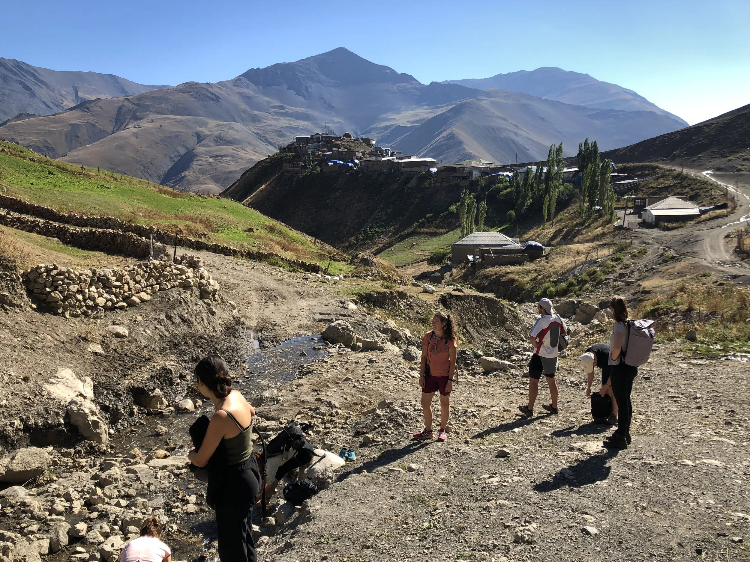
The hike leads to a viewpoint about a third of the way up to the summit. Our group didn't go all the way to the top, but the route is marked on the map. The walk leads mostly uphill. It's a good idea to check the weather beforehand as clouds can gather quickly at this point.
By car, first drive from the center in the direction of "Tufandag Mountain Resort". In front of the site, continue along the unpaved road.
The best place to park is just before the cable car station. From there, walk a few minutes through the small settlement until you reach the starting point of the hiking trail.
This does not lead directly past the "Duruja" waterfall. If you want to see it, follow the river bed. Here is the exact location on google maps. There are no other hiking trails continuing near or after the waterfall.
The path is sometimes not clear, but easy to find with Maps.Me. The narrow hiking trail leads mainly through the forest until you reach the view point. Further up, bushes and grass characterize the landscape. There are no serviced huts nearby, so better take some snack with you ;). Enjoy!
PS: There are a few other waterfall in the nearby area that are definitely worth a visit. We unfortunately ran out of time, but please feel free to give me feedback about your experience of visiting these waterfalls. These are the locations and names:
Gamervan Waterfall (Waterfall of Afurja)


